


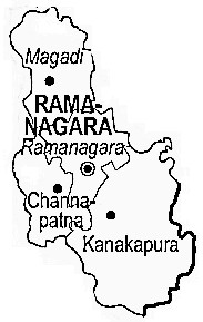

To know more about Panchayat details, Click the Panchayat Name...
To know more about Panchayat details, Click the Panchayat Name...
To know more about Panchayat details, Click the Panchayat Name...
To know more about Panchayat details, Click the Panchayat Name...
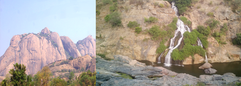
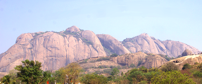
Savandurga is a hill, the popular places for rock climbing which is 31km away from Ramanagara, Karnataka. It is the largest monolith hills in Asia. The hill rises to 1226 m above mean sea level and forms a part of the Deccan plateau. It consists of peninsular gneiss, granites, basic dykes, and laterites. The Arkavathi river passes nearby through the Thippagondanahalli reservoir and towards Manchanabele dam.
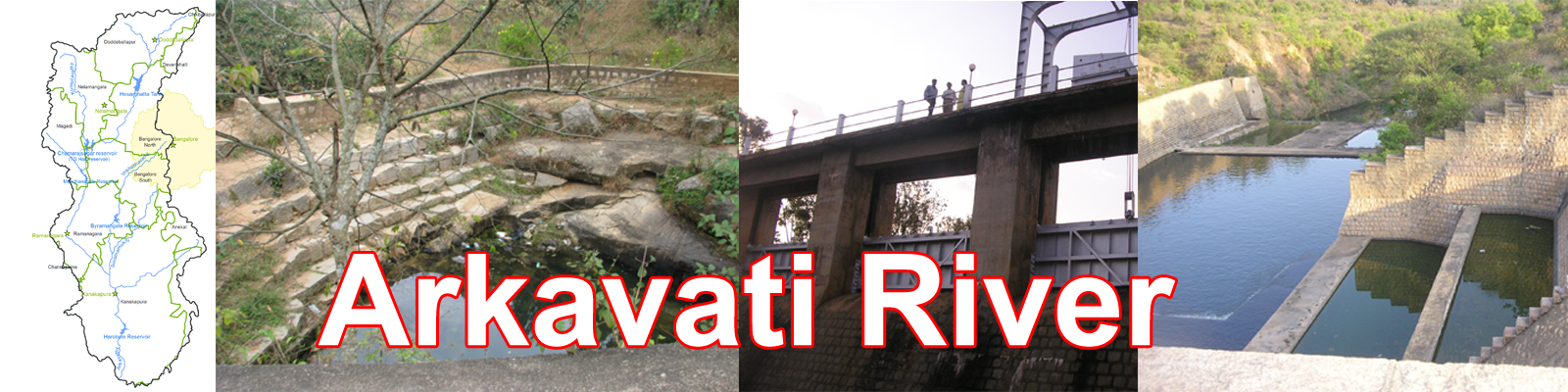
Source : Nandi Hills, Chikkaballapur, Karnataka.
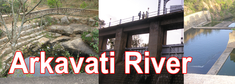
Districts : Chikkaballapur, Bengaluru Rural, Bengaluru Urban, Ramanagara
Ending point: Kaveri River, Sangama River Point, Ramanagara, Karnataka
Tributaries : Vrishabhavathi, Suvarnamukhi, Antharamukhi, Devamukhi, Kumudvathi
Length : 190 kms approx.
History: In 1891, when Bangalore had a population of just 180,000 people, the then dewan of Mysore, K. Seshadri Iyer realized
the lack of a dedicated water source for the city and took up the construction of the Chamarajendra Waterworks at Hesaraghatta
across the river.
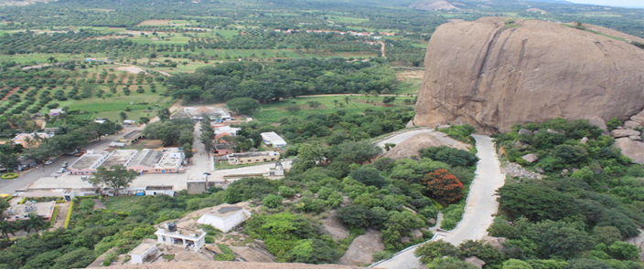
Revanasiddeshwara Betta (SRS Betta)/ Revanasiddeshwara Hill is a Shaiva temple is situated 3,066 feet above sea level, located in Avverahalli, 15 km from city of Ramanagara. There are 3 temples on the site - at the top is Revanasiddeshwara betta, midway is Bheemeshwari (named after the pandava Bheema) and at the base is Renukamba temple.
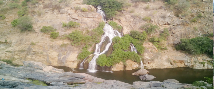
Chunchi Falls is located on the way to Mekedatu, you can find dramatic rock formations everywhere. The area of Chunchi Falls is relatively undeveloped.
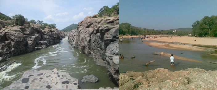
Mekedatu and Sangama is a location along Kaveri in the border of Chamarajanagar and Ramanagara Districts.From this point, about 3.5 kilometers downstream, the river Kaveri flows through a deep and narrow gorge. Mekedatu means 'goat's leap' in Kannada. Near the sangama the two river merges arkavathi and kaveri river will join here. Daily thousand of tourists will come enjoy this destination. Sangama is surrounded by ramanagara taluk towards north, Thally taluk toward east, channapatana taluk toward west, maddur taluk toward west. Kanakapura taluk is the Nearest town to sangama. Mekedatu is 4 km from sangama.