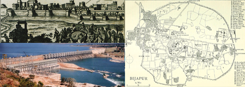
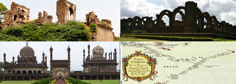
Karnataka State - Bijapur (officially Vijayapura) District
For the people who are below the poverty line, from Bijapur District (society development) we help for:
1 - Education
2 - Skill Training
3 - Youth Empowerment
4 - Women Empowerment
5 - Health
6 - Modern Agriculture
7 - Green Environment
Feel free to contact (M) 8951523822 (Monday to friday - between 5pm to 8pm)
We welcome volunteers (Financial assistance provided)
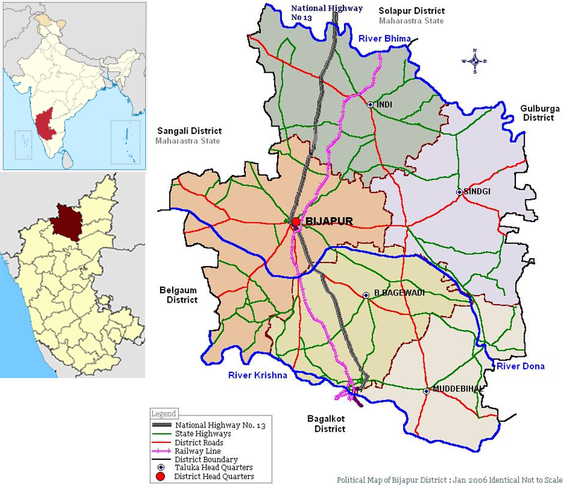
North - Solapur district, North-West - Sangali, West - Belgaum district,
South : Bagalkot, East : Gulbarga, South-East - Raichur.
First Established in...
10th-11th centuries by the Kalyani Chalukyas and was known as Vijayapura (City of victory).
After Chalukya’s demise...
The city was passed to Yadavas after Chalukya’s demise.
Bijapur came under Muslim influence, first under Allaudin Khalji, the Sultan of Delhi, towards the end of the 13th century, and then under the Bahamani kings of Bidar in 1347.
After Bahamani kings demise...
The supremacy of the Bahaman’s may be said to have ceased by 1489. At that time five Shahi Dynasties were born and one of them was “Bijapur‟. The Mughal emperor Aurangazeb conquered Bijapur in 1686 and it was under Mughal rule up to 1723.
In 1724 the Nizam of Hyderabad established his independence in the Deccan and included Bijapur within his dominions. However, his acquisition on this portion was of brief duration, in 1760 it went into the hands of Marathas.
In 1817, war broke out between the British and the Marathas. By 1818, the whole of Bijapur was occupied by the British and was included in the territory assigned to the Raja of Satara. In 1848 the territory of Satara was obtained through the failure of heir and the British rule started. Till 1884, the Bijapur district had headquarters at Kaladagi. Bijapur was made headquarters in 1885.
After Independence...
The movement for re-organisation of States gained further momentum and on 1 November 1956 a separate “Mysore State‟ was formed.
Karnataka State...
The district Bijapur along with other Kannada speaking areas became a part of “Karnataka State‟ on 1 November 1956.
Vijayapura...
Central government approved the request to rename the city from Bijapur to “Vijayapura” on November 1, 2014. Vijayapura district belongs to the Belagavi Division of Karnataka.
Demographic Details
Area : 12,805 Sq Km
No. of Revenue Disivions : 2
No. of Taluks : 13
No. of Hoblies : 20
No. of Gram Panchayats : 211
No. of Villages : 692
Total Population (As on 2011) : 21,77,331